Site Plan Renderings for Power and Data Center Projects – What Boards Expect

There are two kinds of renderings. One is made to sell: golden-hour light, a cloudless sky, the building tucked behind trees that would take 20 years to grow. The other is made to be checked, and it shows the project the way a neighbor will actually see it on a gray February morning. Planning boards have learned to tell them apart, and only the second kind earns their trust. What do planning boards expect from a site plan rendering, and how do you make one that holds up?
Planning boards expect a site plan rendering to be accurate first and attractive second: true to scale, drawn from real viewpoints at eye height, and showing every visible piece of equipment, including substations, generator yards, cooling units, lighting and sound walls. They also want landscaping shown at planting and years later, winter views as well as summer and night views where lighting matters. To hold up, document your method: camera locations on a map and a 3D model built from survey data.
What Is the Difference Between a Site Plan, a Rendering and a Photo Simulation?
A site plan is the technical drawing. A rendering is a picture of the design. A photo simulation places the design into real photographs of the site. Boards usually want all three, because each answers a different question.
| Deliverable | What it shows | What reviewers check |
|---|---|---|
| Site plan | Plan view of buildings, roads, setbacks, utilities, drainage and landscaping | Code compliance: setbacks, parking, buffers, stormwater |
| 3D rendering | The design from chosen angles, often aerial | Massing, materials, layout, how pieces fit together |
| Photo simulation | The project inserted into real site photos | Visual impact from specific public and private viewpoints |
| Night view | Lighting at the site after dark | Glare, sky glow, light at property lines |
The site plan is the legal backbone. Renderings and simulations must match it exactly. If the rendering shows a berm the site plan does not, someone on the board will ask which one is true.
Why Does Accuracy Matter More Than Polish?
Accuracy matters because approvals are often based on what the images show. If a neighbor later finds the building taller or closer than the rendering suggested, the developer's credibility suffers, and the board may feel misled. Boards can even make the approved images part of the conditions of approval.
Accurate means the 3D model is built from the engineered site plan and survey, with real building heights, equipment dimensions and grading. It means the terrain comes from survey or elevation data, not a flat plane. And it means people, cars and trees are drawn at true size, so the scale reads correctly.
Which Viewpoints Should a Rendering Show?
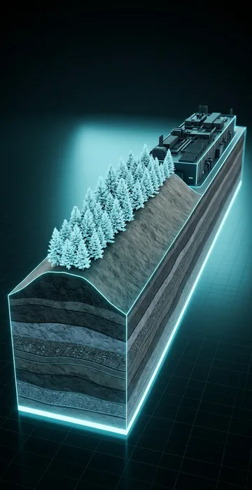
Show the views that matter to the people affected, not just the most flattering angle. Visual impact studies usually pick key observation points: places where the public or neighbors will regularly see the site.
- The nearest homes and their likely views.
- Main roads and intersections that pass the site.
- Parks, trails, schools and historic sites nearby.
- Any scenic overlooks named in local plans.
A good example of the method comes from a large transmission project's permit filing. The visual simulation methodology filed with the U.S. Department of Energy for the Northern Pass project describes photo simulations from key observation points, built from GPS-logged photographs and 3D terrain models with the structures overlaid on existing-condition photos. That level of documentation is what makes a simulation defensible.
Shoot from eye height, around 5 to 5.5 feet, with a lens that approximates normal human vision. Many visual impact practitioners use a focal length close to 50 mm on a full-frame camera for that reason. Wide-angle lenses make buildings look smaller and farther away, and reviewers know it.
How Should Landscaping Be Shown?
Show landscaping honestly over time. Most boards want to see the view at planting, when trees are small, and again at a stated future year when they have grown. Label each image with the assumed tree size and age.
Show winter too. Deciduous trees that screen a building in July may hide almost nothing in January. A leaf-off view is one of the most useful images you can give a board, and one of the most often skipped.
You can check whether screening works with simple geometry. Here is a labelled example on flat ground:
- A viewer's eyes are 5.5 feet above the ground.
- The building is 50 feet tall and 1,000 feet away.
- A berm with trees sits 200 feet from the viewer.
- To block the roofline, the screen must reach 5.5 + (50 − 5.5) × (200 ÷ 1,000) = 5.5 + 8.9 = about 14.4 feet.
Move the berm closer to the viewer and it can be shorter. Move it closer to the building and it must be taller. That trade-off often decides where buffers go on the site plan.
What About Lighting and Night Views?
Lighting is a common concern for large sites that run around the clock, so show it. A night rendering should reflect the actual lighting plan: fixture locations, heights and the type of fixture.
Boards often ask for full cutoff fixtures, which aim light down and limit glare and sky glow. Pair the night view with a photometric plan showing light levels, usually in footcandles, at the property lines. If the security plan calls for perimeter lighting, include it. Leaving it out of the rendering does not make it go away.
How Do You Show Power Equipment, Noise Walls and Utilities?
Show them clearly and to scale. For power plants and data centers, the equipment outside the building is often what neighbors notice most:
- Substations, transformers and overhead lines.
- Generator yards and exhaust stacks.
- Rooftop or ground-level cooling equipment, including cooling towers and dry coolers.
- Sound walls and enclosures.
- Gas meter skids, fuel tanks and access roads.
Sound walls deserve special care. They are often tall, and a board will want to see how they look from both sides. Tie the rendering to the noise study so the wall's height and location match what the acoustic engineer modeled. If cooling towers can produce visible vapor plumes in cold weather, show that too. Surprises after construction are what people remember.
Use the right terms on labels and in the narrative. Boards include engineers and lay members alike, and a consistent vocabulary helps everyone. When a board needs to see the site take shape, from construction phases to the finished campus, our 3D animation studio builds flythroughs from the same engineered site plan.
What Mistakes Do Reviewers Catch?
Reviewers catch the same problems again and again:
- Wide-angle views that shrink the building.
- Mature trees shown on opening day.
- Summer-only views with no leaf-off season.
- Missing equipment, especially generators, substations and lights.
- Renderings that do not match the current site plan revision.
- No map of camera locations or explanation of method.
Each one invites the question, "What else is missing?" Once a board starts asking that, the hearing gets longer.
A Site Plan Rendering Should Survive Scrutiny, Not Avoid It
The irony of a site plan rendering is that the honest version usually persuades better than the pretty one. Boards approve what they trust, and they trust images they can check against the site plan, the survey and their own drive past the property.
Before your next submission, list the key observation points, mark them on a map and check each image against the latest site plan. Then ask a skeptical colleague to find what is missing. If they cannot, you are ready for the board.